Sneak peek at how we’re building 3D maps

Over the past two months, our Maps teams kickstarted work on 3D maps. 3D maps bring a new dimension to mapping and we know they're critical for enabling terrain, 3D models, and even 3D network data for navigation.
To get started, we’re devoting a few people to figuring out how to create 3D maps in the easiest way possible, reusing as much of our existing Mapbox infrastructure as we can, and readjusting as we go. While we explore, we’re loving what we’ve been able to create so far, so want to share sneak peeks as we build.
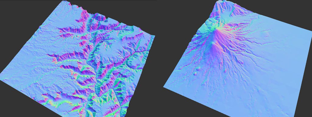
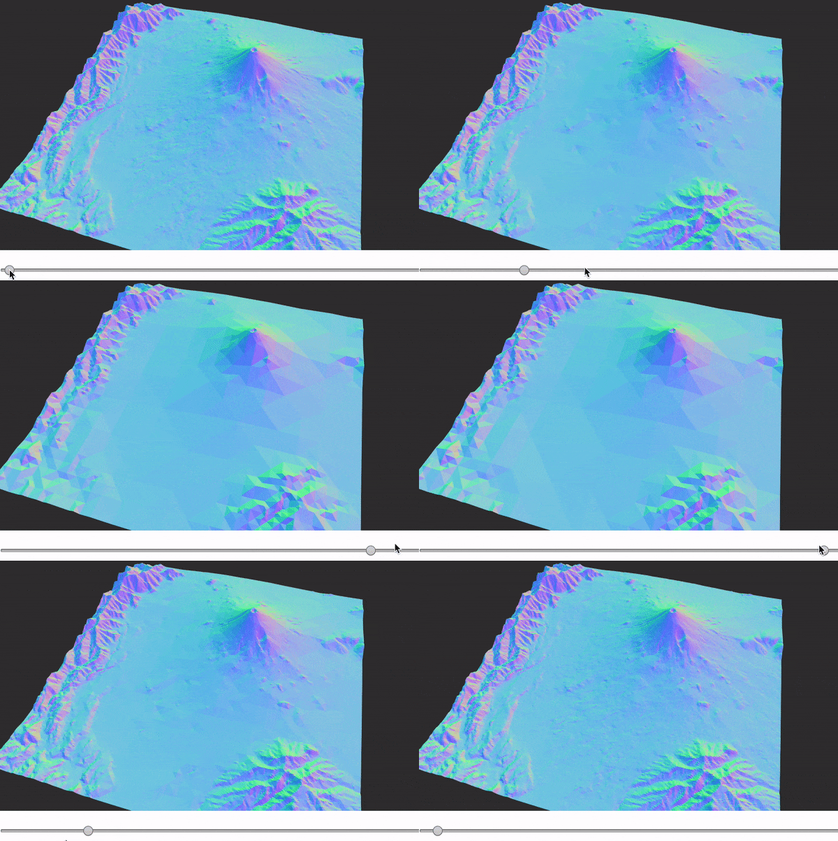
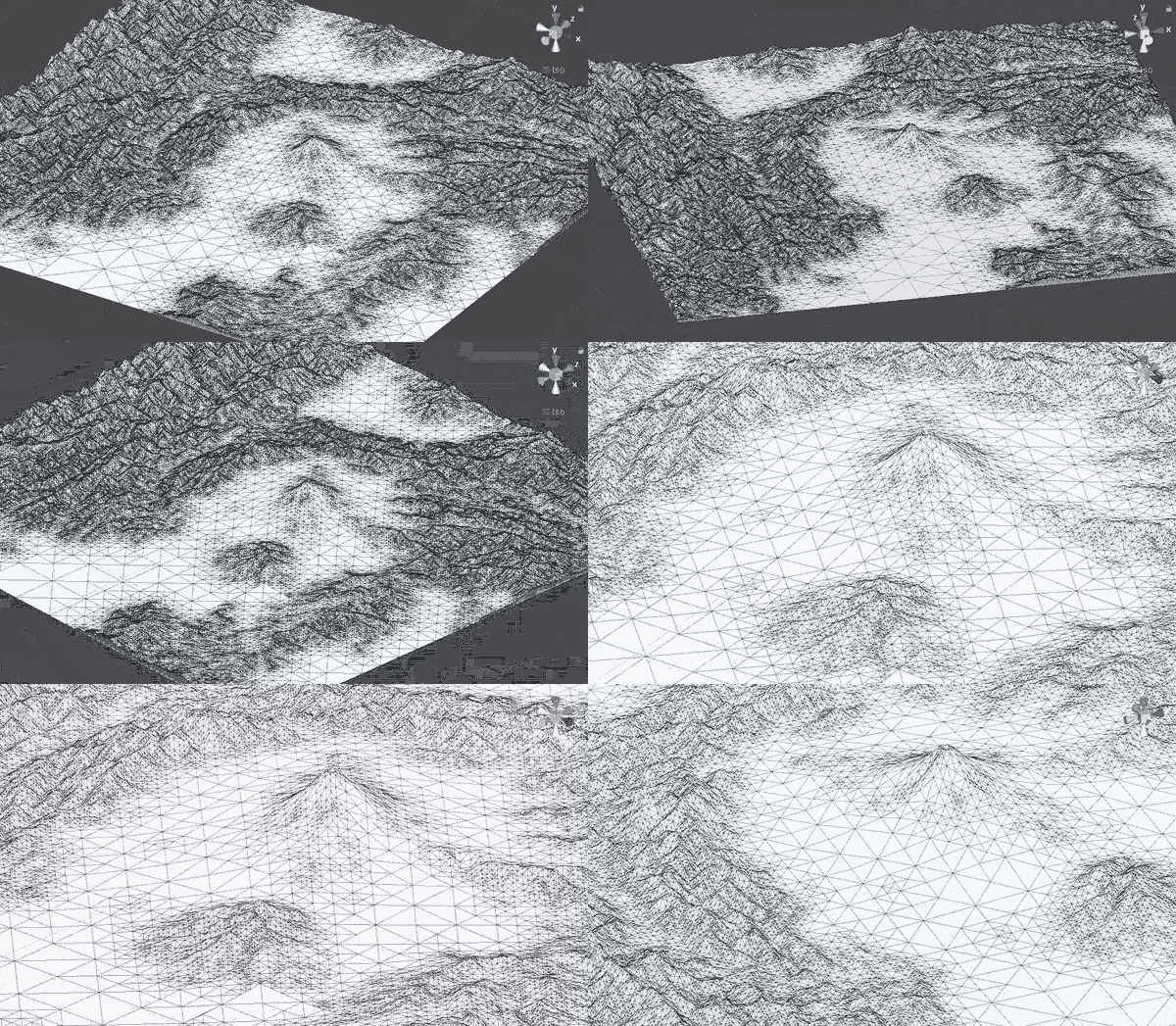
Here’s a first look at how Vlad and Baran tested building terrain using client-side mesh. The approach they came up with, based on a 22-year-old paper, is called MARTINI — Mapbox’s Awesome Right-Triangulated Irregular Networks. Follow along with Vlad’s process in this awesome devlog.

The great thing about the algorithm is that it’s incredibly simple — the gist of it is just 40 lines of code, and it’s very fast — about 20ms to generate all possible RTIN meshes of varying level of detail for a given 256px tile. Vlad shared the notebook with Baran and he couldn’t resist porting this over to Unity — in one evening!

We’ll be sharing sneak peeks as the team progress on their 3D work. Follow along here for updates or reach out to me at abhishek.tripathi@mapbox.com with any questions.
Abhishek Tripathi - Engineering Manager - 3D & AR - Mapbox | LinkedIn
Taking our maps to the next dimension was originally published in Points of interest on Medium, where people are continuing the conversation by highlighting and responding to this story.