Announcing our honorary winners
Clik here to view.

By: Becky Harris
You all killed it in our August Explore Outdoors Contest! We loved touring your favorite hometowns spots as you showed them off through your Studio maps, navigation apps, and 3D visualizations. Everyone leveled up in their mapping skills, but two developers made it all the way to the finish line. Although our contest rules state that we can only ship prizes to the U.S. (don’t worry, we’re working on this!) we couldn’t pass up the chance to show off the work of our honorary winners.
Climbing in Jasper National Park and Banff in 3D
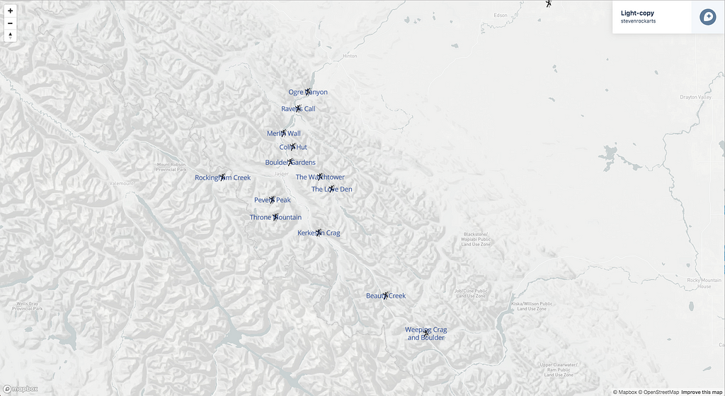
Steven Rockarts from Alberta, Canada, gave an amazing walkthrough of how he created a custom map of his favorite climbing spots in Jasper National park with the Outdoors basemap.
Clik here to view.

He went above and beyond by walking through how he uploaded his dataset and added custom points Studio — take a look:
https://www.youtube.com/watch?v=6FeZoqxdVSE&
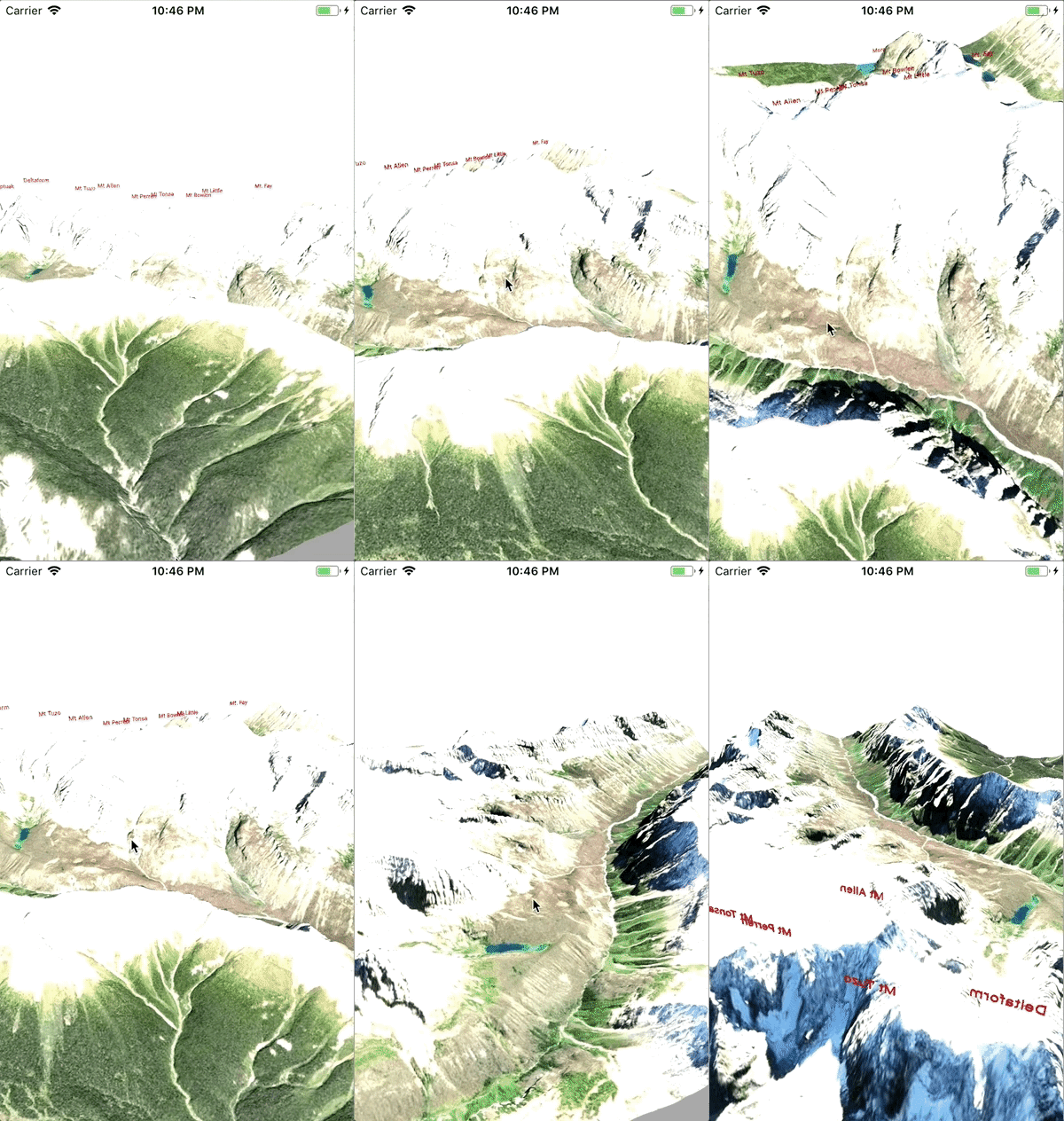
On the 3D visualization challenge, Steve created a beautiful tour of the Valley of 10 Peaks in Banff National Park
Clik here to view.

He provides comprehensive instructions for how he built everything in his blog post. Check it out and follow his steps to build your own variation.
Exploring the Italian coast
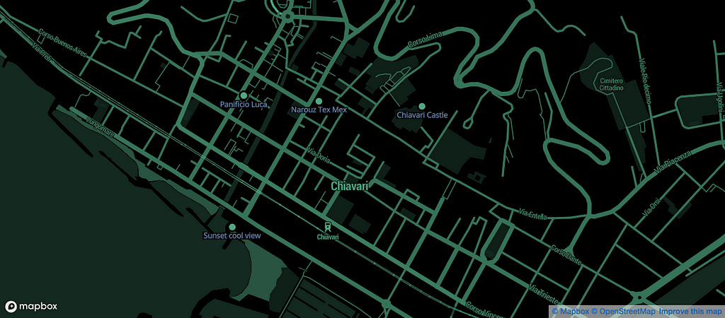
Our second honorary winner, Lorenzo Stucchi, from Sulbiate, Monza Brianza, Italy, took a completely different approach in visualizing his map of Chiavari, a small town on the Italian coast. He used our Decimal designer map style for video-game look and feel:
Clik here to view.

His 3D visualization shows off the elevation and topography of the town as well as his favorite POIs:
https://www.youtube.com/watch?v=CZ3R9UFRcq4&
Lorenzo’s full blog post, with code snippets, can be seen here.
- “I [was] very enthusiastic about this experience and the challenges proposed because it was a simple and smart way to learn new things.” ~Lorenzo Stucchi
We’re so glad that so many people found the contest fun and educational! Keep an eye out, as we’re in the process of building more tutorial content to help you learn how to use our products. We just launched 5 tutorial videos on our 3D extrusion capabilities, and we plan to add more in the future. Let us know what other tutorials you’d like to see!
If you missed the Explore Outdoors contest, you can still check out the step-by-step guides we created:
- design a custom Studio map
- develop a navigation experience in an app
- create a 3D visualization of a map (webinar recording here)
Clik here to view.

How we Explored Outdoors was originally published in Points of interest on Medium, where people are continuing the conversation by highlighting and responding to this story.