By: Miroslav Lysyuk
Today, we’re releasing the beta of our Magic Maps SDK for Magic Leap developers. Magic Maps is the first comprehensive toolkit for Magic Leap that lets you add maps and global location data to any game or app.
Get started building your immersive map experience by:
- Setup your MagicLeap Development Environment with Unity
- Manually import the MagicLeap 0.16.0 unitypackage from ~/MagicLeap/tools/unity/v0.16.0 into your project.
- Download the Magic Maps SDK and import the unitypackage into your project.
- Update your project settings with this guide.
- Connect the Magic Leap Creator Edition headset, and make sure it’s on.
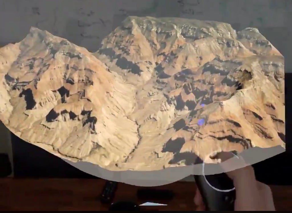
- Build and Run the MagicLeap Terrain sample scene.
Magic Maps is built on top of the Mapbox platform, meaning you get:
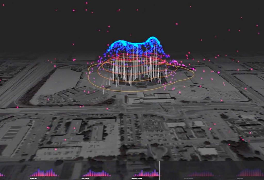
Live location data: Popular location data — determined by anonymized place data aggregated from over 400 million MAUs — allows for gameplay to adjust based on when and where people are present.
3D digital elevation model: A global mesh including real terrain height. This elevation data is tiled into small pieces to make it distributable at scale with low latency around the globe; updates are dynamic.

Points of interest: A geotaggers’ world atlas of locations and categories of the most interesting places and the routes between them in every country around the world, letting app developers interact with millions of real-world businesses and landmarks.

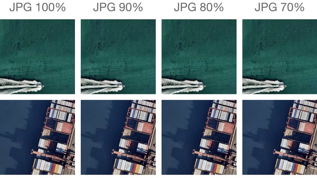
Satellite imagery compression for faster map loading based on bandwidth: Gauge bandwidth by testing the download speed and adjust compression automatically. Developers can specify the level of image compression manually or gauge bandwidth by testing the download speed of a sample tile and adjusting compression automatically.

High-resolution land cover and land use data classification: From NASA satellite imagery to identifying unique land cover classes ranging from parks to beaches to bodies of water to industrial areas, this is data that powers gameplay logic. In addition to the analysis of land classification from satellite imagery, we combine multiple data sources from around the world so we have higher-resolution in places where it’s available. Currently, we have processed:
- USGS, 30m resolution, USA including Alaska, Hawaii, and Puerto Rico
- GeoBase (combined Canadian gov’t sources), 30m resolution
- European Environment Agency, 100m resolution
- Geoscience Australia, 300m resolution
- NASA MODIS, 500m resolution globally

We’ll grant developer access on a first signup basis — reach out to me at miro.lysyuk@mapbox.com to request access
Magic Maps SDK: VIP signup for Magic Leap developers was originally published in Points of interest on Medium, where people are continuing the conversation by highlighting and responding to this story.