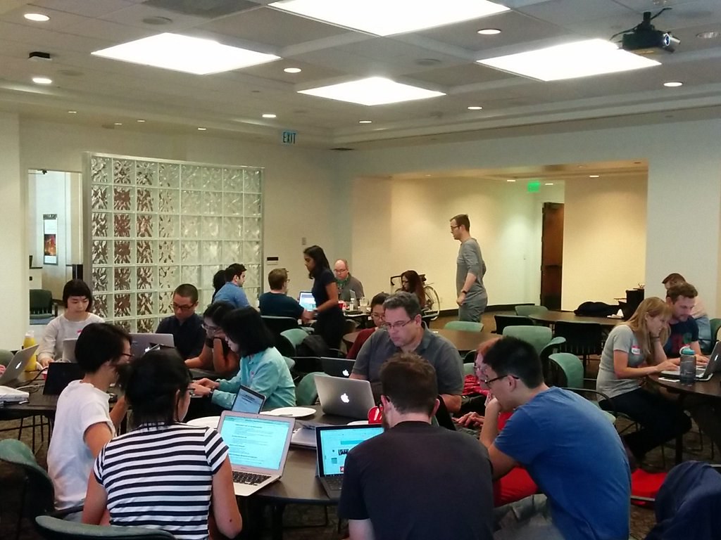
Earlier this month, local mappers in Los Angeles started importing building footprints frompublic domain data into OpenStreetMap. This is part of the local community’s push to improve building coverage across the entire county of Los Angeles in OpenStreetMap.

In less than 2 weeks, over 150,000 buildings were added in Southside LA.
We need your help! Visit http://labuildingsimport.com/ to take part in the import or check out MaptimeLA for upcoming mapathons.

MaptimeLA building import mapathon. Photo by MaptimeLA.