Introducing Atlas Enterprise Boundaries

By: Adam Koeppel
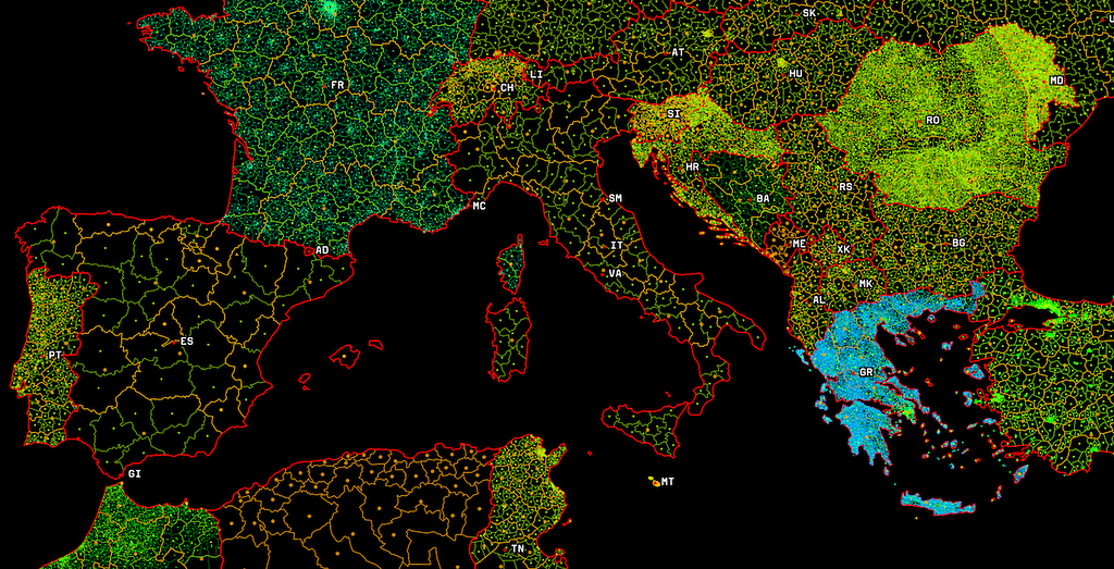
Financial institutions, insurance providers, and emergency response centers can now add national, regional, local, and postal divisions to their offline and on-premises mapping applications with Atlas Enterprise Boundaries, our latest feature for Mapbox Atlas.
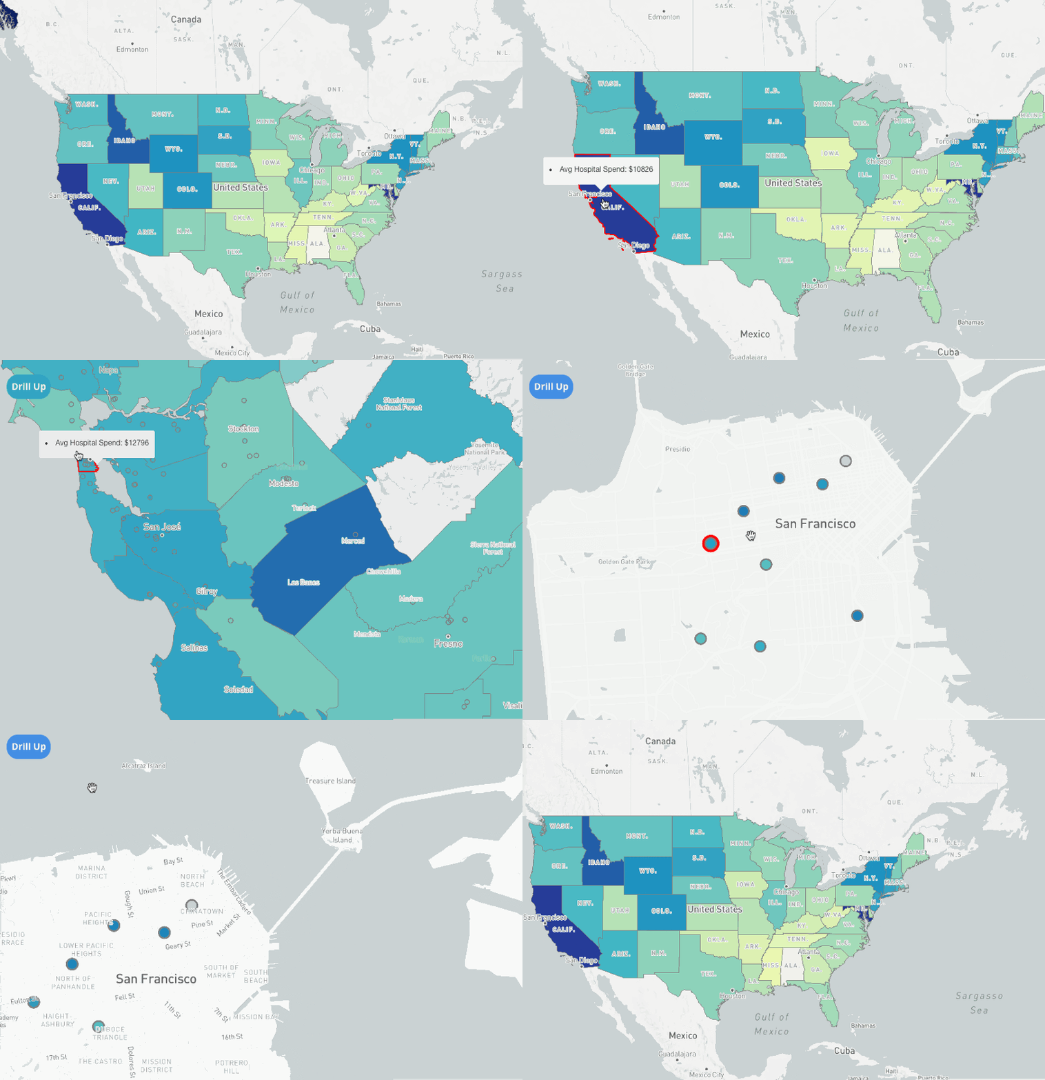
The ability to join custom data with global and local boundary polygons facilitates deeper data-driven decision-making and insight into how your data relates to your geographical regions. Regional disaster response centers can use Enterprise Boundaries to determine jurisdiction for emergency response. Autonomous vehicle companies can use administrative boundaries to track mobile asset compliance with varying local, state, and national laws. Utilities and energy companies can visualize and assess localities affected by transmission infrastructure planning. And all of this can happen completely offline.

Assembling national, regional and local boundary data into data sets is surprisingly difficult. Different agencies produced data in different formats, and geospatial teams needed to gather, transform, and align this data. Atlas Enterprise Boundaries brings Mapbox’s curated boundary data to offline and on-premise customers, so you can precisely map national, regional and local boundaries wherever you are.
Atlas Enterprise Boundaries offers Atlas customers:
- Detailed and Accurate Maps: Our Cartography team assembled detailed and precise edge-matched polygons. All boundaries within a hierarchy are matched with their parent polygons so you can have a pixel-perfect map visualization.
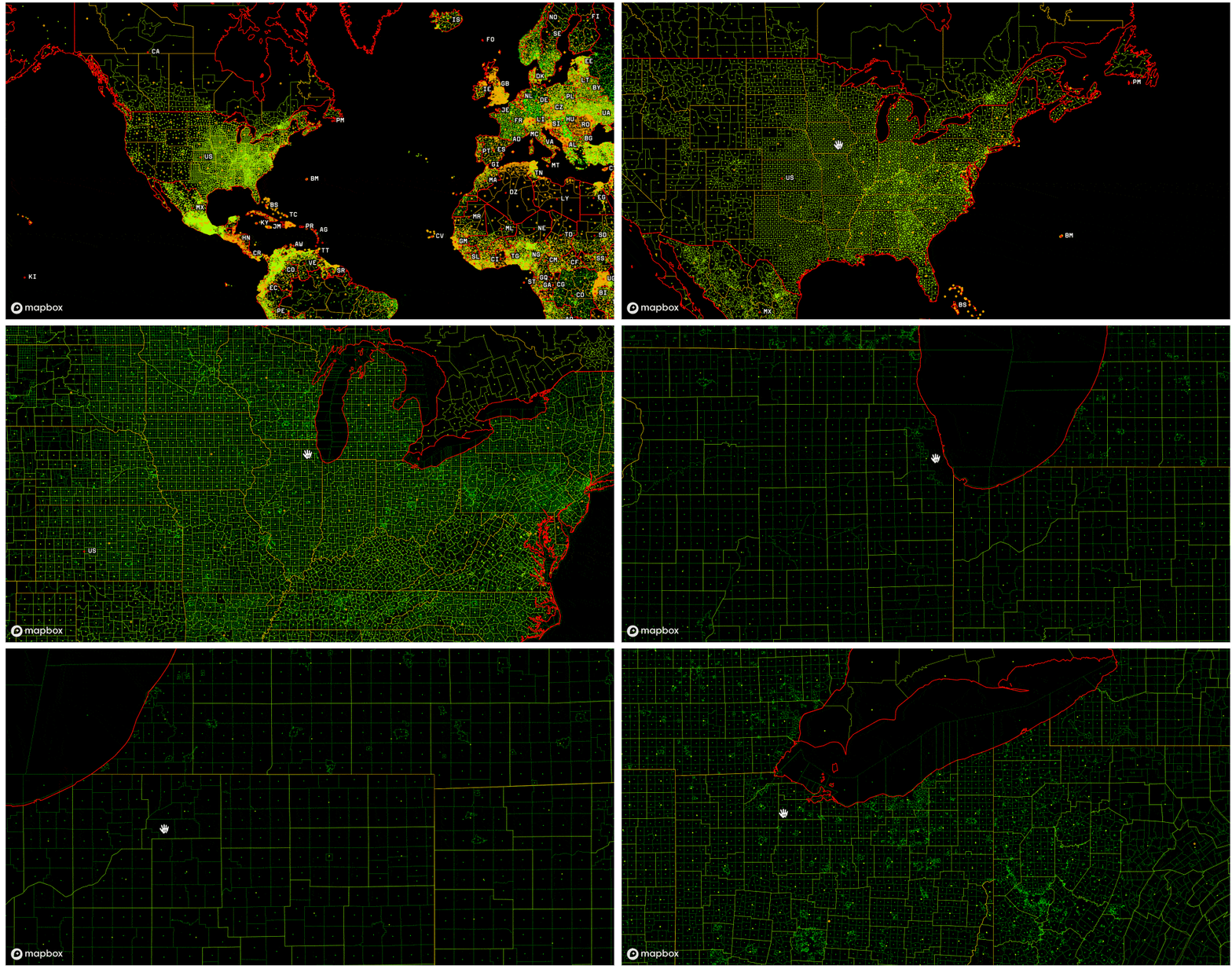
- Optimized Vector Tiles: Mapbox serves Enterprise Boundary data tilesets as vector tiles. This allows Atlas customers to quickly visualize data on any medium, from mobile to web. You can seamlessly zoom through your data with thousands of polygons and interact with your data in a new way.

Enterprise Boundaries is an additional product on your current Atlas Standard or Enterprise license. Contact your Atlas sales representative to add Enterprise Boundaries to your license, starting with a free trial period, and explore the Enterprise Boundaries getting started guide for inspiration.
Adam Koeppel - Product Manager - Mapbox | LinkedIn
Global boundary data for offline maps was originally published in Points of interest on Medium, where people are continuing the conversation by highlighting and responding to this story.