Bring your maps to life with the Maps SDK for Unity in Atlas.
By: Becky Harris
Atlas, our on-premises mapping and location platform, lets you access AR and 3D visualizations offline and in a secure environment with our Maps SDK for Unity. Now you can combine the speed, customizability, and visualization capabilities of our vector tiles with the customization of our Map SDK, all on a privately hosted solution.


With the Maps SDK for Unity in Atlas, you can create immersive experiences, simulations, and visualizations. For example:
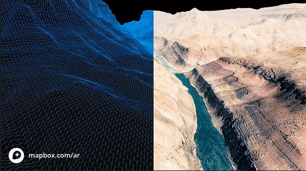
- Build animated topographical maps in 3D based on your proprietary data sets for bathymetry data, elevation data, or road networks.
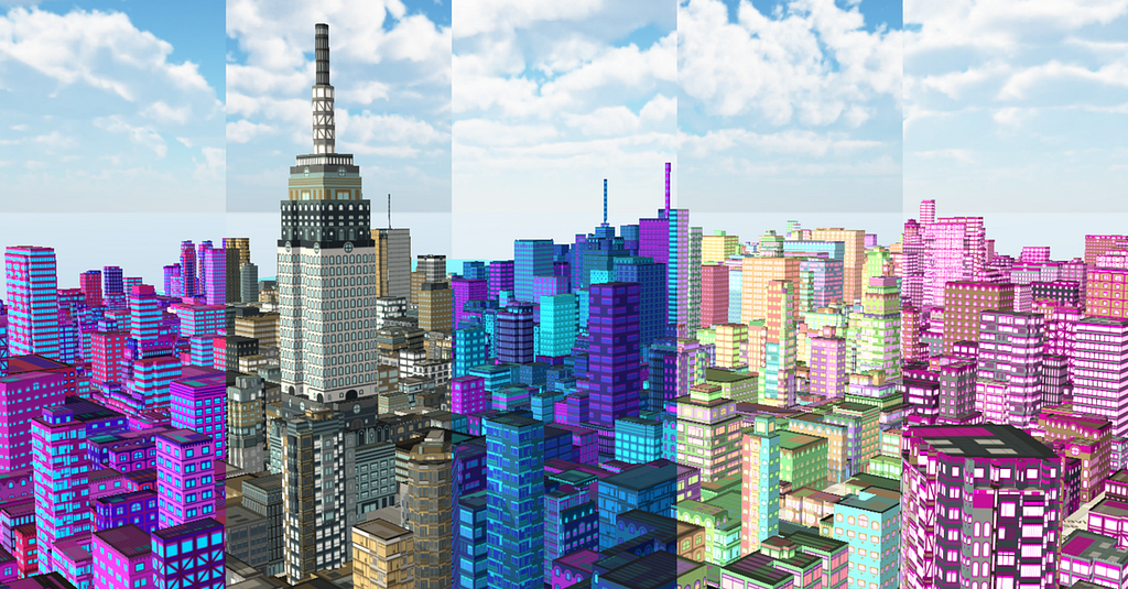
- Tell stories about a city’s population, accessibility, or utility usage, and other planning needs through 3D visualization techniques.
- Preview routes for drone flights in 3D before you fly. Add points of interest, addresses, and other map labels to help indicate route instructions if someone else will be operating the drone.
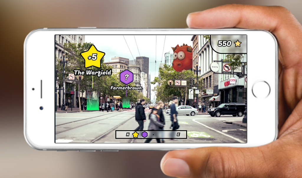
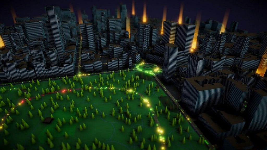
- Create fully immersive location-based VR games, training exercises, and location-based simulations on the Unity platform, while keeping your customer data and other IP secure.
Get in touch with our team to learn more about using Atlas and our AR tools.
AR and 3D in a secure environment was originally published in Points of interest on Medium, where people are continuing the conversation by highlighting and responding to this story.