By: Paul Goodman
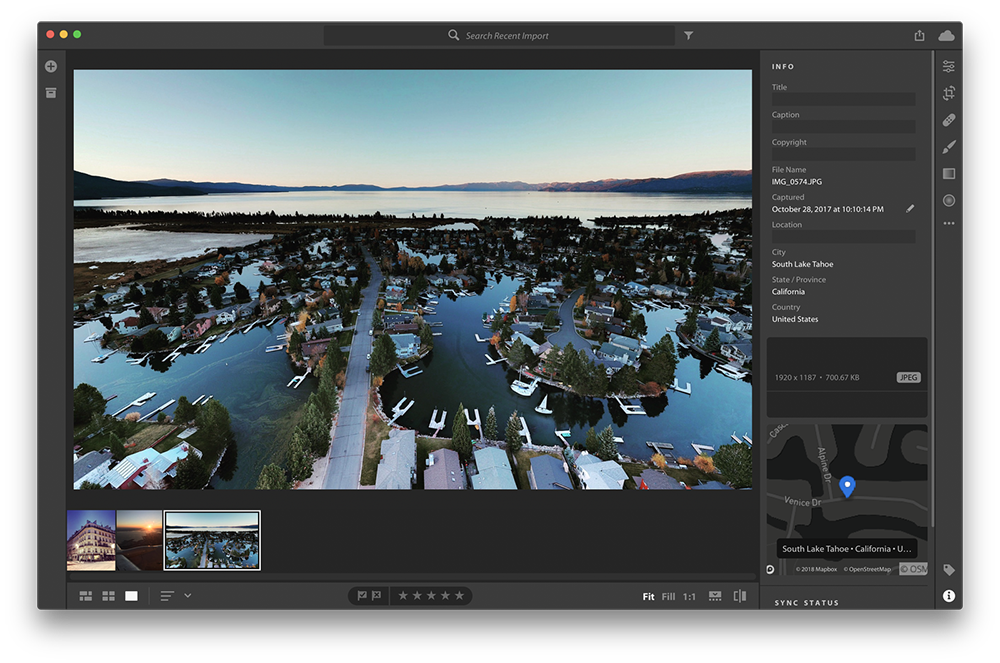
Adobe Lightroom CC automatically adds location information to every photo you take with your phone and GPS-enabled cameras. After geotagging the images, Lightroom drops each one onto a map so you can immediately see where you took each picture. The process happens automatically, in the background, so you can import and edit your photos while Adobe uses our maps to figure out the name of the place and generate a thumbnail of the map in the right location.
Clik here to view.

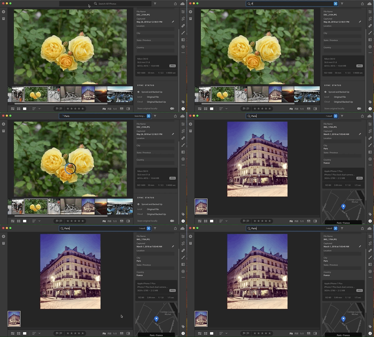
Using our Geocoding API in permanent mode, Adobe tags the images with the location information and stores that data as part of each photo’s metadata. With each photo tagged, you can then use Lightroom to search across all your images for photos from a location, like Paris:
Clik here to view.

Want to learn more about geotagging, permanent metadata, and other ways to add location data to digital assets? Reach out to our team.
Image may be NSFW.Clik here to view.

Adobe Lightroom: Mapping your photos was originally published in Points of interest on Medium, where people are continuing the conversation by highlighting and responding to this story.
