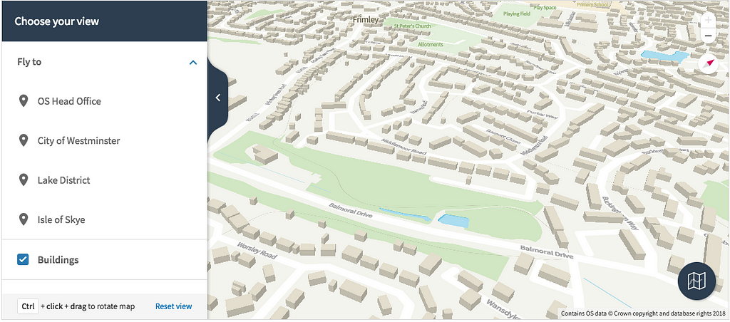
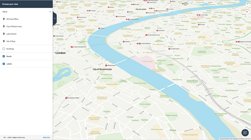
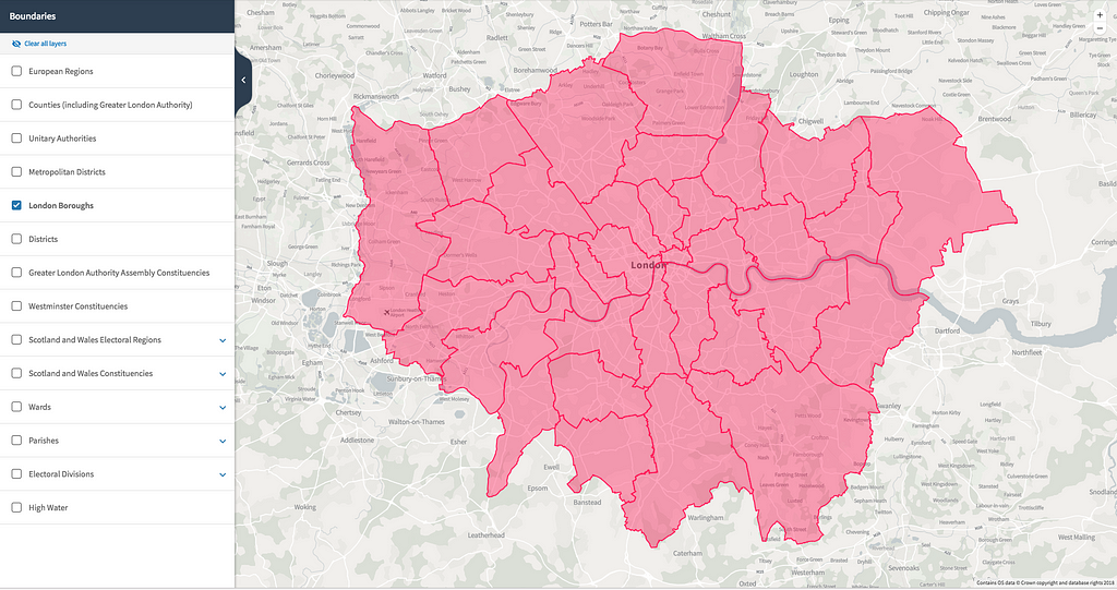
Founded in 1791, Ordnance Survey is Britain’s mapping agency. They make the most up-to-date and accurate maps of the country and help governments, companies and individuals be more effective with geospatial information. They recently launched OS Open Zoomstack and OS Open Data to help developers build compelling location applications for Britain with new vector styles and open data powered by our maps APIs and GL JS.

Under the hood
Ordnance Survey uses our platform to host their own map tiles and data, custom styles, developer-ready maps, and consumer applications like OS Maps — a popular outdoors service in Great Britain. Hosting gives them the flexibility to deliver complex, Britain-specific, location data as tiles and custom maps to their users.
From Cartographic Designer, Charley Glynn:
The vector tiles have been well received and will help our customers integrate OS data into their web and mobile applications — especially important for our Geovation start-ups. An area that I believe is on the brink of large growth in GB […] you will see that Mapbox GL JS has quickly become our library of choice.
OS Open Zoomstack makes elements of OS open data available as one map, in one file to be used for GIS, web, mobile, or offline use. It’s designed to make OS map data more accessible and easier to use in mobile applications, as well as being customizable.

Along with OS Open Zoomstack, OS Open Data provides developers with a modular design system for building map applications with custom styles. These styles are available to plug-and-play for comprehensive location experiences with boundary lines, building heights, descriptive terms to identify bridges and other forms of infrastructure, and highway networks for route planning.

Try it out!
Developers can take advantage of OS Open Zoomstack now. Head to their website to sign up for a free trial and take a look at the documentation and guidelines you need to get started.
Want to host custom data with us for your customers? Contact our sales team.
Ordnance Survey launches vector maps for Great Britain was originally published in Points of interest on Medium, where people are continuing the conversation by highlighting and responding to this story.