Achieve raster mastery with our tools and APIs
Calling all pixel pushers 📣
When you host your imagery on our platform, there’s no need to worry about security, reliability, or data infrastructure. We’ve completed a lot of the heavy lifting in that department, giving you more time to concentrate on analyzing your imagery, styling your maps, and adding interactive elements to your visualizations.
Fast, secure infrastructure
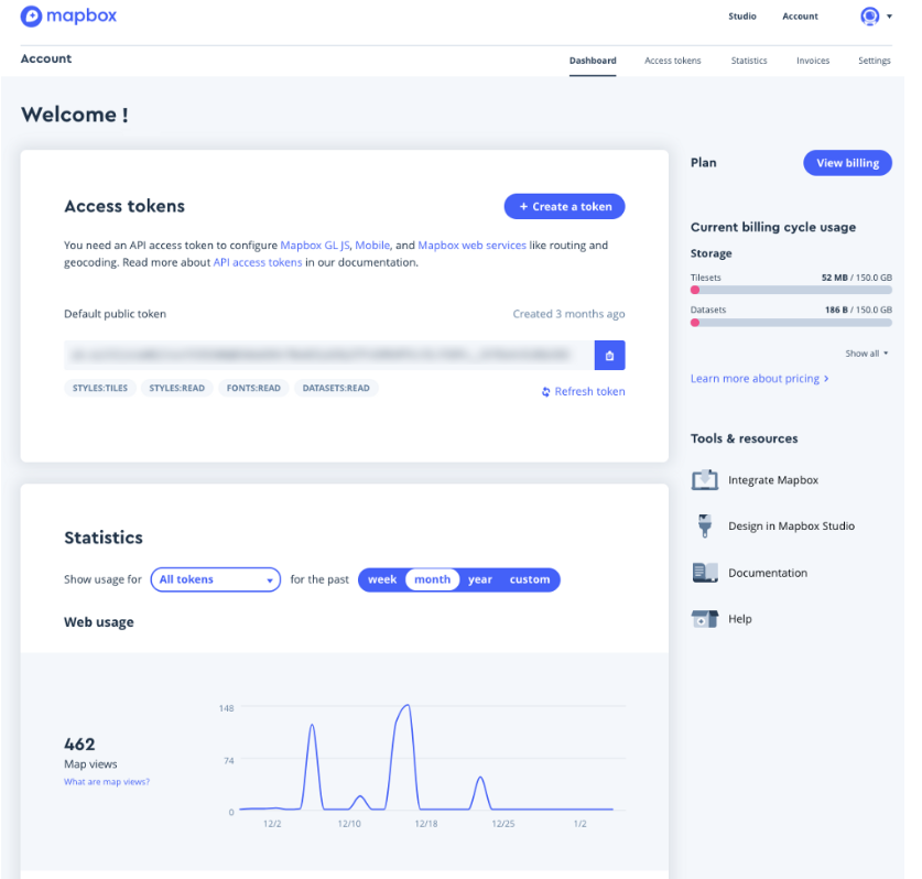
We’ve baked a host of core services into our platform to make sure that it’s secure and reliable. We maintain 99.9% uptime and offer a services guarantee for enterprise customers. To ensure security, we adhere to industry best-practices, serving all our APIs over HTTPS by default, and offering two-factor authentication for logins. Built-in access management lets you track internal and end user activity across all of your map content. It’s all hooked into our automatic pay-as-you-go billing system, letting you monitor the usage volume as you approach your designated request limit.
Extend with our APIs and tools
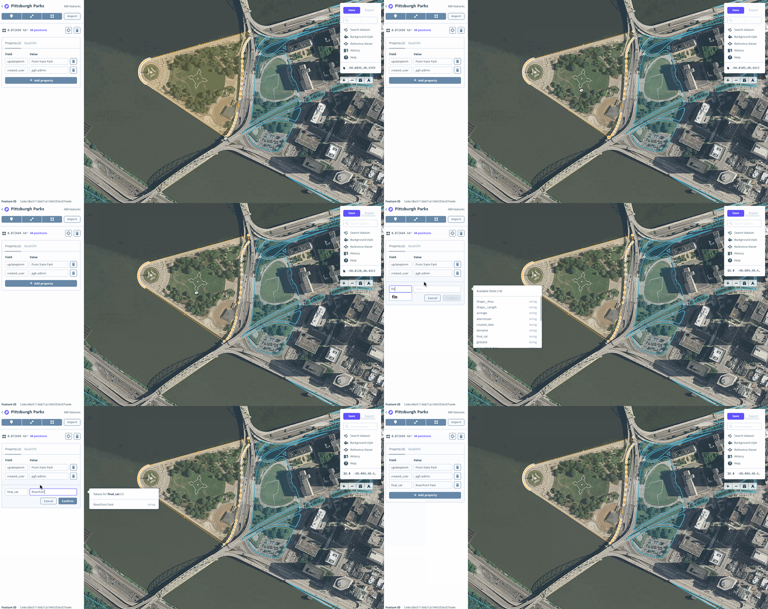
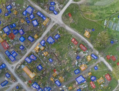
Now that your data is accessible and secure, it’s time to customize your experience. We provide a ton of APIs and tools to mix and match as you build out your imagery product. Quickly surface and style your imagery across web, mobile, automotive, and gaming platforms with our various distribution APIs. Annotate imagery and maps with custom vector labels, points, lines, polygons, and video using Studio. Edit datasets programmatically or in a graphical user interface with the Dataset Editor. Add imagery layers as a source for client-side GIS-analysis with our own Turf.js.
Third party integration
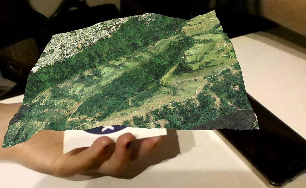
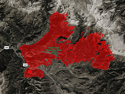
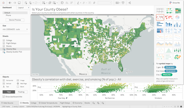
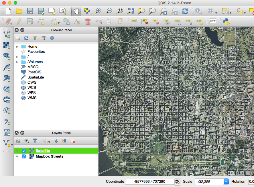
You can pull your hosted imagery into your traditional GIS platform of choice, too. Our platform is compatible with a range of leading analytic and GIS platforms including ESRI, QGIS, and Tableau. Perform analysis on custom map data in ArcGIS Desktop and ArcGIS Online with EsriConnect, compliant with the OGC® WMTS Standard, or pull map layers directly into QGIS. Build business insights against custom maps and datasets with the Tableau integration. Create immersive AR and VR experiences by draping your imagery on top of scenes with our Maps SDK for Unity.
Have a unique use case? We’ll work directly with customers to deliver against infrastructure needs, whether that means building a custom SDK or a software plugin for direct imagery uploads.
Check out our full list of platform specs, and get in touch with us to talk about your imagery product.
Put your satellite, aerial and drone imagery to work was originally published in Points of interest on Medium, where people are continuing the conversation by highlighting and responding to this story.