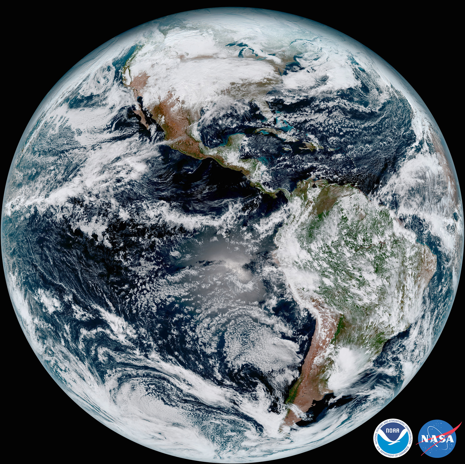
The newest weather satellite, NOAA’s GOES-16, took a test picture of the whole Western Hemisphere last week:

Image: NASA/NOAA
The new GOES series, with their cousins Himawari 8 and 9 from Japan, are a big improvement in weather satellite technology. Compared to the current generation, their sensors see more of the spectrum, at higher resolution, and more often – producing 60× the data per day. Faster and more precise data means better forecasts during blizzards, hurricanes, and volcanic eruptions. And on ordinary days, it will mean fewer flight delays and more accurate long-range forecasts.
The lifesaving benefits – and economic multiplier effects – of open data from public agencies are on the Mapbox team’s minds as we prepare for SatSummit. This one-day conference, held in Washington DC tomorrow, focuses on how satellite data can help human development, disaster response, and environmental protection. We’ll be speaking and learning about how to support a culture of openness and sharing in both the private and public sectors of the satellite industry.